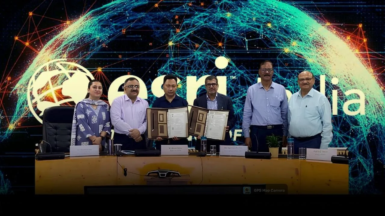
Delhi Technological University (DTU) has partnered with Esri India, a company that makes GIS software, to set up a Centre of Excellence for GeoAI (Geospatial Artificial Intelligence). The aim is to train students with advanced industry tools and fill the gap of skilled people in handling spatial data in India’s engineering and technology fields.
Skill Gap Integration
Under the new MoU, the Centre of Excellence will be set up in DTU Department of Geospatial Science and Technology. Esri India will provide its ArcGIS software, giving students and researchers access to global maps and data through the ArcGIS Living Atlas. The plan is not just classroom teaching but also practical GeoAI projects, teacher training programs, and merit-based internships for engineering students.
The initiative comes at a time when urban planning, defense logistics, and environmental management increasingly rely on real-time spatial data analytics. By embedding industry-standard software into the educational framework, the partnership attempts to build a pipeline of data scientists and engineers who can immediately operate within these specialized domains upon graduation.
Framework Restructuring
DTU plans to use this new setup to improve its courses in civil engineering, computer science, and space studies. The university will use the Indo ArcGIS platform to create new programs for students and professionals, covering GeoAI and geoinformatics at the undergraduate, postgraduate, and executive levels.
"Geospatial intelligence and AI are converging rapidly, and India needs a skilled workforce that can harness this power for real-world impact," said Agendra Kumar, Managing Director of Esri India. "Our partnership with DTU through this Centre of Excellence reflects Esri India’s commitment to embedding GeoAI thinking into the mainstream academia. We look forward to working alongside DTU’s faculty and students to build capabilities that will shape how India plans its cities, manages its resources, and prepares for the future."
This agreement represents a significant milestone in industry-academia collaboration that could serve as a model for other technical universities in India.— Prof. Prateek Sharma, VC, DTU
The integration of these technologies will allow researchers to simulate urban growth patterns, analyze environmental degradation, and optimize logistical networks using the same software currently deployed by government agencies and defense establishments across India.
Academic Vision
For DTU, setting up this Centre of Excellence is part of a bigger plan to make geospatial science a separate subject, not just a small part of civil engineering or computer science. The university also wants to start special Master’s programs in Geoinformatics for working professionals in the infrastructure and space technology sectors.
Prof. Prateek Sharma, Vice Chancellor of DTU, noted that the Department of Geospatial Science and Technology aspires to position itself as a institutional leader in geospatial education, research, and consultancy, emphasizing that the segment requires a dedicated technology vertical focused heavily on space sciences.
As Indian public infrastructure projects and smart city initiatives scale, the demand for professionals capable of handling complex spatial data has intensified. The hands-on exposure to advanced GIS tools is expected to shorten the on-the-job training periods typically required for engineering graduates entering the infrastructure, environmental consulting, and technology sectors.
About Esri India
Esri India Technologies is a full GIS (Geographic Information System) solutions company. It is the official distributor of Esri ArcGIS software in India and supports more than 6,500 organizations in government, education, defense, and private sectors to use spatial data for decision-making. Based in Noida, the company also runs regional offices and development centers across India to promote spatial learning and location-based technologies.